Latest News


Want more of our stories on Google? Click here to make us a Preferred Source.
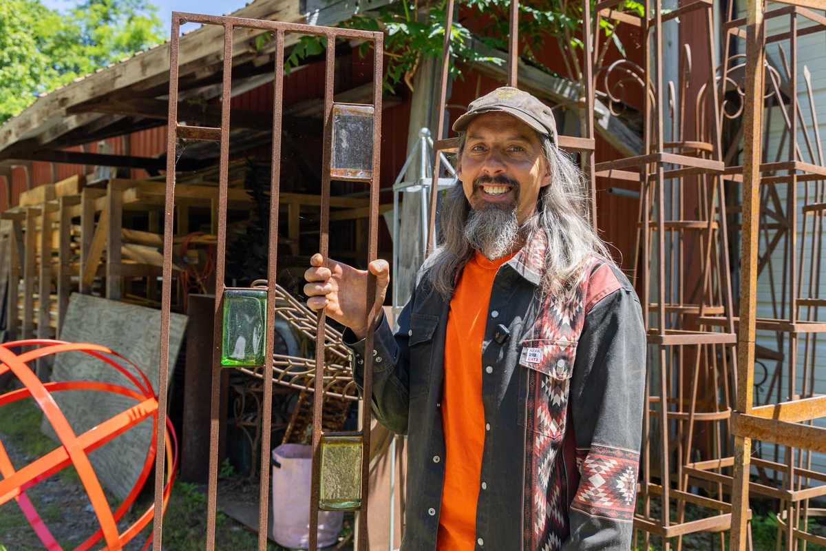
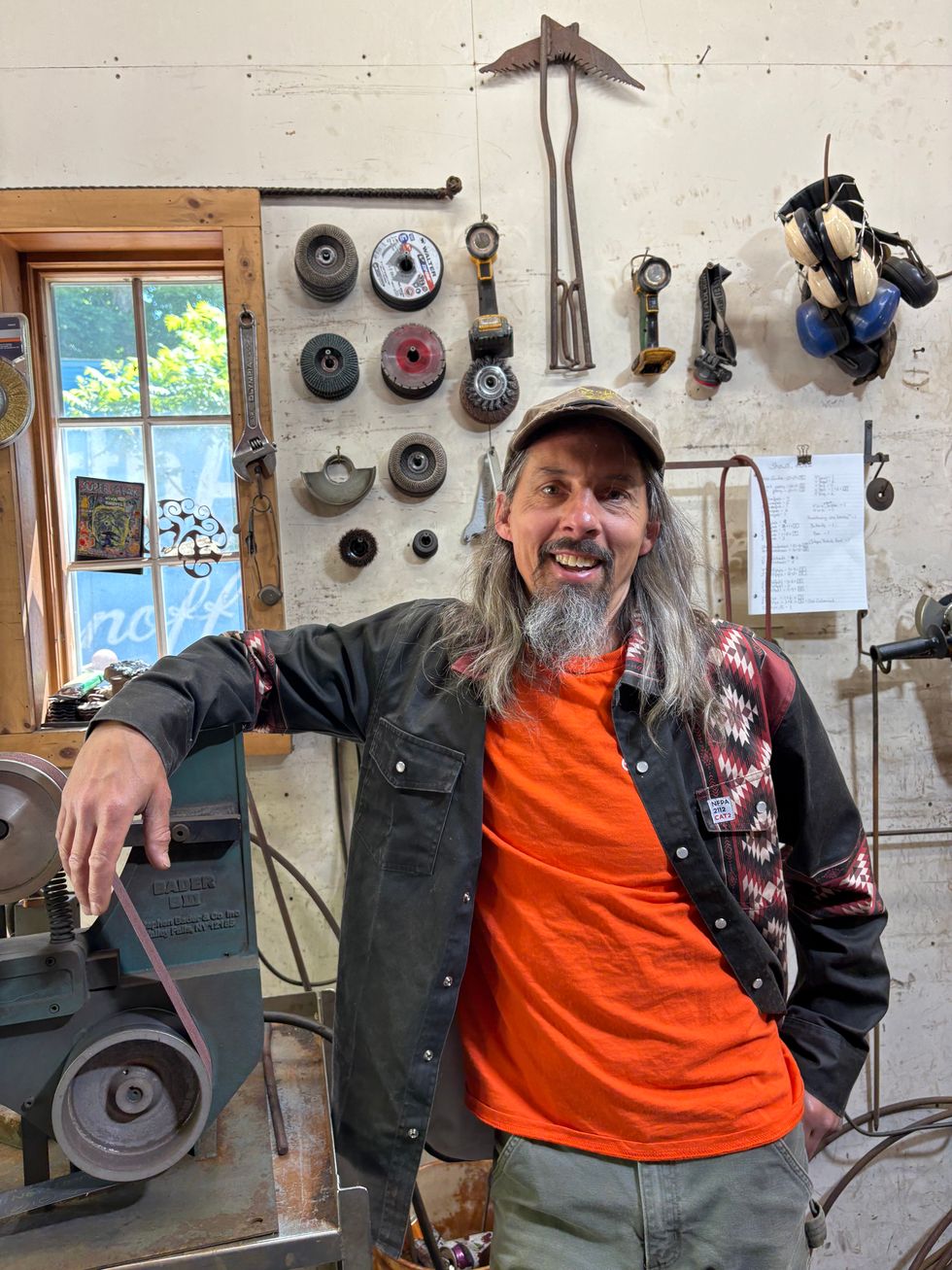
Izzy Fitch at Battle Hill Forge in Wassaic.
Madi Long
The giant metal mantis, built by artist Jim Hackett, is now part of a summer contest Fitch devised. He’ll strap it to the roof rack of his car and drive it around. When people spot it, they can take a photo, post it on social media and tag @battlehillforge, @lakevillejournal and @themillertonnews. At the end of the contest, names will be drawn at random and gift certificates to Battle Hill Forge will be awarded.
“It’s just for fun,” said Fitch, whose work often blurs the boundaries between art, utility and play. “Who couldn’t use more fun these days?”
Fitch moves through his sprawling workshop spaces like an enthusiastic museum guide leading visitors through a collection he forgot he owned. Every few steps, something catches his attention. A hand-forged daffodil. A dragonfly. A prototype trellis. A powder horn his great-grandfather taught him to make. A concrete toad inherited from his grandmother.
“Oh, this is cool,” he says, veering off course.
A few minutes later:
“Oh, I forgot to show you this.”
Then:
“You want to see something really cool?”
The tour never quite follows a straight line.
Neither does Fitch.
Long before Battle Hill Forge became known for custom gates, garden structures and sculpture found everywhere from private estates to major cultural institutions, Fitch was a child building armor for toy animals.
“I had a Black Panther that was this big and I armored it,” he says, holding his hands a few inches apart. “I made all my little people and creatures, and I armored them all up and I made all the weapons for them.”
Fitch’s father was a logger. Tools were plentiful. Toys were not.
“He wouldn’t buy us toys really, so we would have to make our own.”
The family business, if there was one, was making things.
 Izzy FitchNatalia Zukerman
His great-grandfather was a master craftsman who made Windsor chairs in collaboration with his uncle, Bert Fitch. His father supplied the raw materials, Bert made the chairs, his great-grandfather carved the spindles. His relatives were renowned woodworkers. People would travel from far and wide to have his great grandfather make handles for them.
“I really learned a lot from spending time with my grandparents and my great-uncles,” he says.
Today, that inheritance is visible everywhere inside the forge.
Giant steel pumpkins wait beside elegant peony supports. Honeycomb sculptures support an endearing bee also made by Hackett. Giant orbs loom playfully. Metal mushrooms, used in classes Fitch teaches to children, line the windowsills.
Many are prototypes Some are commissions. Some exist simply because Fitch thought they might be fun to make.
“I just think of something cool,” he says. And then he makes it.
“Most of the metalworkers that I work with don’t want to talk to people,” he says. “They’re like, ‘Just tell us what you want. Give me the plans and I’ll make it.’”
Fitch is different. Part craftsman and part translator, he enjoys helping clients discover what they want before it exists.
Unless, of course, he’s distracted by a frog story.
The previous Battle Hill Forge location, in Millerton, included a small pond where Fitch often ate lunch.
“There was a dead mouse out there one time,” he recalls. “This frog was so clever. He would sit near the dead mouse and when flies came down, he would get a fly.”
He watched the frog for an entire lunch break.
The story arrived somewhere between explanations of Japanese patinas and custom railings.
It also explains a lot. Fitch notices everything: plants, insects, old tools, odd solutions, clever engineering tricks. His work is filled with observations gathered from gardens, forests, old European designs and conversations with other makers.
A peony support isn’t just a peony support. It’s an opportunity to improve something. A trellis isn’t just a trellis. Maybe it can come apart for shipping. Maybe it can help a plant grow differently. Maybe it can do something no one has considered before.
“I’m not really inventing anything new,” he says. “I just tweak it a little bit.”
After its beginning in Falls Village, moving to Millerton and eventually settling in Wassaic, Battle Hill Forge has become one of the region’s success stories. The shop is booked months in advance. Projects range from garden ornaments to monumental railings weighing hundreds of pounds. Designers seek him out. Gardeners collect his work.
Yet Fitch remains most animated when discussing collaboration.
The intern helping in the shop first met him as a student in one of his metalworking classes. Local glass artists add to his sculptures. Garden designers have helped refine his plant supports. For Burning Man this summer, he’s joining a team of fellow artists to build an installation featuring an oculus and a pair of metal sphinxes.
“We’ll have a little party,” he says.
The phrase could describe half the projects in the shop, especially the praying mantis. Technically, that sculpture belongs to Hackett.
“He makes all this cool stuff,” Fitch says. “I sell them for him because he’s one of those artists who doesn’t want to deal with the public.”
Fitch laughs.
“Which is totally smart.”
Outside, a dog wanders through the yard. A timber framer works next door. Metal rusts into beautiful shades of brown. New ideas wait in various stages of completion and there’s just a little magic around every corner.
To contact Battle Hill Forge, visit battlehillforge.com.

Want more of our stories on Google? Click here to make us a Preferred Source.