Latest News
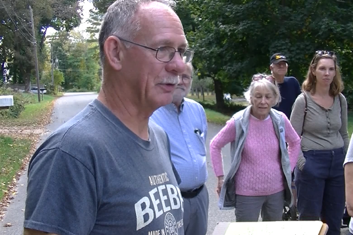
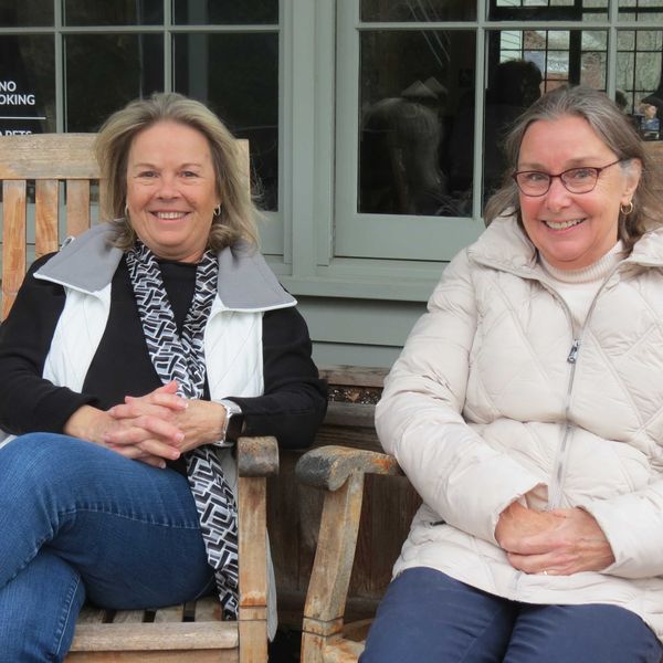
The newest video by Eric Veden follows a tour of town led by Bill Beebe, pictured above, and Judy Jacobs.
Provided
FALLS VILLAGE — Eric Veden’s 36th installment of his Falls Village video series includes an October 2024 Housatonic Heritage walk through downtown Falls Village led by Judy Jacobs and Bill Beebe.
In the video, participants gather at the Depot, home of the Falls Village–Canaan Historical Society. As the group sets out along Railroad Street, Jacobs notes that the Depot was constructed between 1842 and 1844 to serve the newly established railroad.
Jacobs pauses by one house, explaining that it was originally built by the railroad, has a murder in its history, and is said to be haunted — supposedly.
The footage follows the group along Prospect and Miner streets as they admire the architecture and discuss the stories behind the houses. The tour spent some time examining the largest cottonwood tree in Connecticut, on Beebe Hill Road. The tree with its massive base has been significantly pruned in the upper reaches.
The film captures the group pausing to view, from a distance, an 18th-century home once known for its Revolutionary-era dances — a house that still bears a couple of bullet holes in its old windows.
Viewers then see the group mosey down Beebe Hill to Main Street, with Jacobs and Beebe providing interesting tidbits about the buildings, such as:
100 Main St., now devoted to fine home furnishings, was automotive legend John Fitch’s shop.
The video also includes the former Toymakers Café site, which was once a hardware store. Jacobs recounts hearing stories of a spur line from the railroad running to the property for deliveries, with the cars likely pulled by horses.
Keep ReadingShow less

Gratitude and goodbyes at Race Brook Lodge
Nov 19, 2025
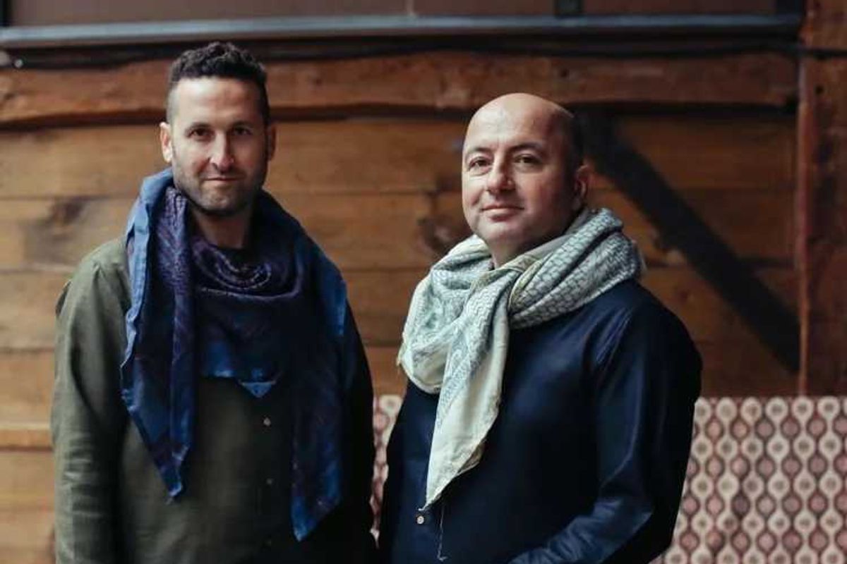
Duo al Rouh (Rabbi Zachi Asher, left, and Zafer Tawil) will explore the crossroads of art and justice, music and spirituality at The Gratitude Festival at Race Brook Lodge in Sheffield.
Provided
With the property up for sale and its future uncertain, programming is winding down at the iconic Race Brook Lodge in Sheffield, Massachusetts. But there are still events on the calendar designed to carry music lovers through the winter and into spring.
From Friday, Nov. 21, to Monday, Nov. 24, Race Brook Lodge will hold its Fall Gratitude Festival. Celebrating the tail end of fall before the colder depths of winter, the festival features an eclectic mix of music from top-notch musicians.
The festival begins Friday, Nov. 21, with an evening of Indian classical music with Eric Fraser (bansuri flute), Abhik Mukherjee (sitar), Mir Naqibul Islam (tabla) and Vinay Desai (santoor). Fraser is one of the few exponents of the original “gayaki-ang,” or vocal style, of bansuri flute. He is also a key member of Brooklyn Raga Massive, a nonprofit musicians’ collective that creates cross-cultural understanding through the lens of South Asian classical music. Fraser’s playing rings with authenticity and pure Indian tone, carrying a distinct and masterful sound imbibing a pure gharana, or lineage. He is also a multi-instrumentalist, educator, composer and songwriter.
On Saturday, Nov. 22, Palestinian multi-instrumentalist Zafer Tawil (qanun, violin, nay) performs alongside friend and collaborator Rabbi Zachi Asher (oud), offering Arabic maqam, Sufi trance, piyut and tarab sounds that bring ancient desert traditions to life. Tawil and Asher present a rare vision of collaborative futures at the crossroads of art and justice, music and spirituality. For this performance, Duo al Rouh will be joined by vocalist Zahra Zubaidi, percussionist Rich Stein, violinist Megan Gould, belly dancer Myrto Daskaloudi and other special guests.
Rabbi Asher will also lead a special Shabbat gathering, ceremony and dinner with songs, teachings, dance, stillness, silliness, poetry and wilderness time for adults and kids on Friday, Nov. 21. Everyone is welcome. Shabbat dinner is included.
On Sunday, Nov. 23, master Senegalese sabar percussionist Aba Diop performs with fellow griot artists and global collaborators the Yermande Family. The group’s full-length release, “Family,” affirms sabar as a rhythmic language that has shaped music across continents and centuries and continues to shape what comes next. The group takes its name from the Wolof word “yermande,” which means compassion, care for others and deep respect for community.
Closing out the festival on Monday, Nov. 24, keyboardist John Medeski, along with bandleader Mike Rivard on bass and sintir, Will Bernard (guitar), Mister Rourke (turntables) and Dean Johnston (drums), performs as Club d’Elf. Club d’Elf has been helping audiences lose track of time for 27 years with its synthesis of Moroccan traditional music and electronic, dubbed-out funk.
Race Brook Lodge is a restaurant, inn and event space that provides a place for guests to engage with nature, culture and community. With a commitment to sustainability and accessibility, Race Brook Lodge is a unique Berkshire institution. The property is for sale and long-time owners Dave Rothstein, Casey Rothstein-Fitzpatrick and Saadia Khan hope that the new owners “will care for the property in a way that is respectful to the land and our local community,” said a social media post.
For tickets to the Fall Gratitude Festival, visit rblodge.com/fall-gratitude-festival-2025.
Keep ReadingShow less
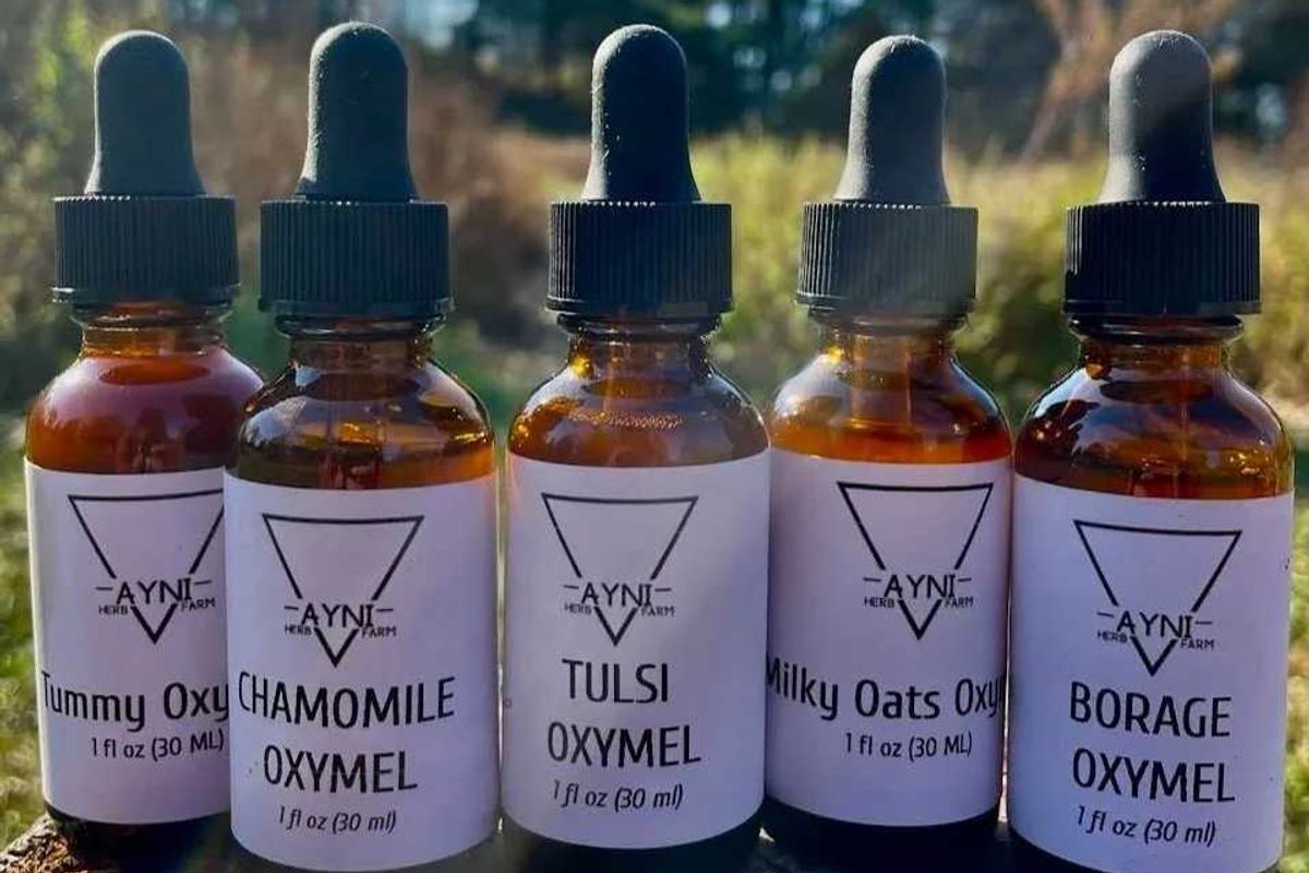
Ayni Herb Farm will be one of themany local vendors at Foxtrot’s Farm & Friends Market Nov. 22-23 in Stanfordville.
Provided
As the days grow shorter and the first hints of winter settle in, galleries, studios, barns, village greens and community halls across the region begin their annual transformation into warm, glowing refuges of light and handmade beauty.
This year’s holiday fairs and DIY workshops offer chances not just to shop, but to make—whether you’re mixing cocktails and crafting ornaments, gathering around a wreath-making table, or wandering markets where makers, bakers, artists and craftspeople bring their best of the season. These events are mutually sustaining, fueling both the region’s local economy and the joy of those who call it home.
This year, there is an especially community-driven spirit to area craft fairs and makers markets. Nowhere is that clearer than at Foxtrot’s first annual Farm & Friends Market, Nov. 22-23 in Stanfordville, a new collaboration between farmers, makers and neighbors designed to bring people together in an intentional, deeply local way.
“Farm & Friends Market is a collaborative, warm and cozy, pre-holiday gathering,” said co-organizer Kate Farrar of Foxtrot Farm & Flowers. “It blends the charm of a winter market with the connection and quality of a local food and makers fair. Think fresh produce, pantry goods, handmade gifts, twinkle lights, good smells, warm beverages and friendly faces.”
Farrar said the aim was to create something “not rushed or overly commercial, but festive, simple and meaningful.” The vendors are people she and co-organizer Anja Rothe, of Fat of the Land Apothecary, already knew and have worked alongside. “If we find success in this collective model, which we hope and plan to, we hope to accept new vendors in years to come,” said Farrar.
To further support the artists and creatives at Farm & Friends Market, vendors don’t pay to be there. “We are collectively hosting a market that is not pay-to-play,” Farrar said. “We build and host this market together in the spirit of collaboration and mutual benefit for the small businesses that make the Hudson Valley so special. If you love small businesses, this is the market to attend.” A weekend raffle will also benefit the Tri-Corner Feed. For more info and a list of vendor, visit: foxtrotfarmflowers.com
Here is a list of other upcoming craft fairs, markets and DIY gatherings to fill your season with creativity, connection and a little magic.
Nov. 21: Craft and Cocktails at the David M. Hunt Library: An evening of crafting and cocktails where participants will have a chance to turn old hardcovers into faux floral displays. Visit huntlibrary.org for more information.
Nov. 22: The Hotchkiss Library in Sharon will host a workshop on making woven holiday cards with Anne Cameron. More info: hotchkisslibrary.libcal.com
Nov. 23: Pre-Thanksgiving Cooking Class: Join chef and owner of Westerly Canteen, Molly Levine for a Thanksgiving cooking class and communal meal at Hammertown in Pine Plains. Info: westerlycanteen.com
Nov. 29–30: Willow Wreath Making at BES in Millerton: all-ages are welcome for this wreath-making workshop using locally sourced decorative materials. More info: shop-bes.com
Nov. 29: Kent’s Sip, Sparkle & Stroll: from 4 to 8 p.m., take a stroll along Main Street in Kent and enjoy the delightful lights, shops, galleries, restaurants and festive cheer.
Nov. 30: Cottage Courses presents a papier-mâché, hand-painted ornament workshop at Troutbeck in Amenia. More info: troutbeck.com
Dec. 7: Make your own holiday wreath at Arethusa Farm Foundation in Litchfield. More info: arethusafarmfoundation.org
Nov. 21–22: Uncle Al’s Thrift Shop’s annual Christmas sale at the St. Joseph School gym in Millbrook. stjosephmillbrookny.org
Nov. 22: Mad Rose Art Market opens in Millerton. This holiday salon of unique and inspired gifts for the holidays is open until Dec. 31 with an opening reception on Nov. 22 from 4 to 6 p.m. madrosegallery.com
Nov. 22: Tivoli Artists Gallery Holiday Show & Sale. Handmade gift items in a variety of media on sale. Opening reception is 5 to 7 p.m. Tivoliartistsgallery.com
Nov. 22: 48th Annual Group Holiday Sale, Rhinebeck. From 10 a.m. to 7 p.m. at the Delamater Inn and Conference Center, this show features a collection of 20 artisans. Also open Nov. 23, 10 a.m. To 4 p.m.
Nov. 23: Noxon Road PTA Craft Fair, LaGrangeville. From 10 a.m. to 3 p.m., this holiday craft fair benefits the Noxon Road Elementary School’s PTA.
Nov. 28: Millerton’s Festival of Lights: from 10 a.m. to 5:30 p.m., get ready for a magical day of holiday cheer. More info: visitmillertonny.com
Nov. 28 – Dec. 31: Holiday Boutique at The Spa at Litchfield Hills is a shopping haven featuring thougtfully curated gifts. Info: Litchfield-spa.com
Nov. 28: Kent Tree Lighting, 4 p.m at Kent Town Hall. Caroling, cocoa, cookies and a visit from Santa.
Nov. 28–30: Basilica Farm & Flea Holiday Market, Hudson. Since 2013, this huge annual event is part timeless flea market, part farmers market, part 21st century craft and design fair. Info: basilicahudson.org
Nov. 29: Barnspace Market at Race Brook Lodge in Sheffield. A great opportunity to discover unique options for your holiday gifting. Info: rblodge.com
Nov. 29 and Dec. 13: Salisbury Handmade at the White Hart ballroom in Salisbury. This annual event features different artisans at each market. Info: artisansale.org
Dec. 5–6: Noble Horizons Holiday Market: from 10 a.m. to 4 p.m., visit the holiday market at Noble Horizons in Salisbury. On Dec. 6, there’s even storytime with Mrs. Claus! Info: noblehorizons.org
Dec. 6–7 & 13–14: Winter Wonderland Market at Wassaic. Artist alumni and local makers fill the mill with handmade creations and stocking stuffers. Info: wassaicproject.org
Dec. 6–7: Troutbeck Holiday Bazaar. Visit Troutbeck in Amenia for a thoughtful selection of wares from local shops, artists, jewelers and New York City-based boutiques. Info: troutbeck.com
Dec. 6: Santa, Cookie Contest & Tree Lighting, Sharon.
Dec. 13: Holiday Fête at Fiddlestyx in Sharon. From 11 a.m. to 7 p.m., visit Fiddlestyx for gifts, food and music. Info: fiddlestyx.info
Dec. 13–14: A tavern takeover at Stissing House Craft Feast in Pine Plains. 50 makers and dealers with pottery, baskets, textiles and more, curated with Deborah Needleman. Broth, carols, brooms, whittled spoons and winter cheer. Info: stissinghouse.com
Keep ReadingShow less
loading