Latest News

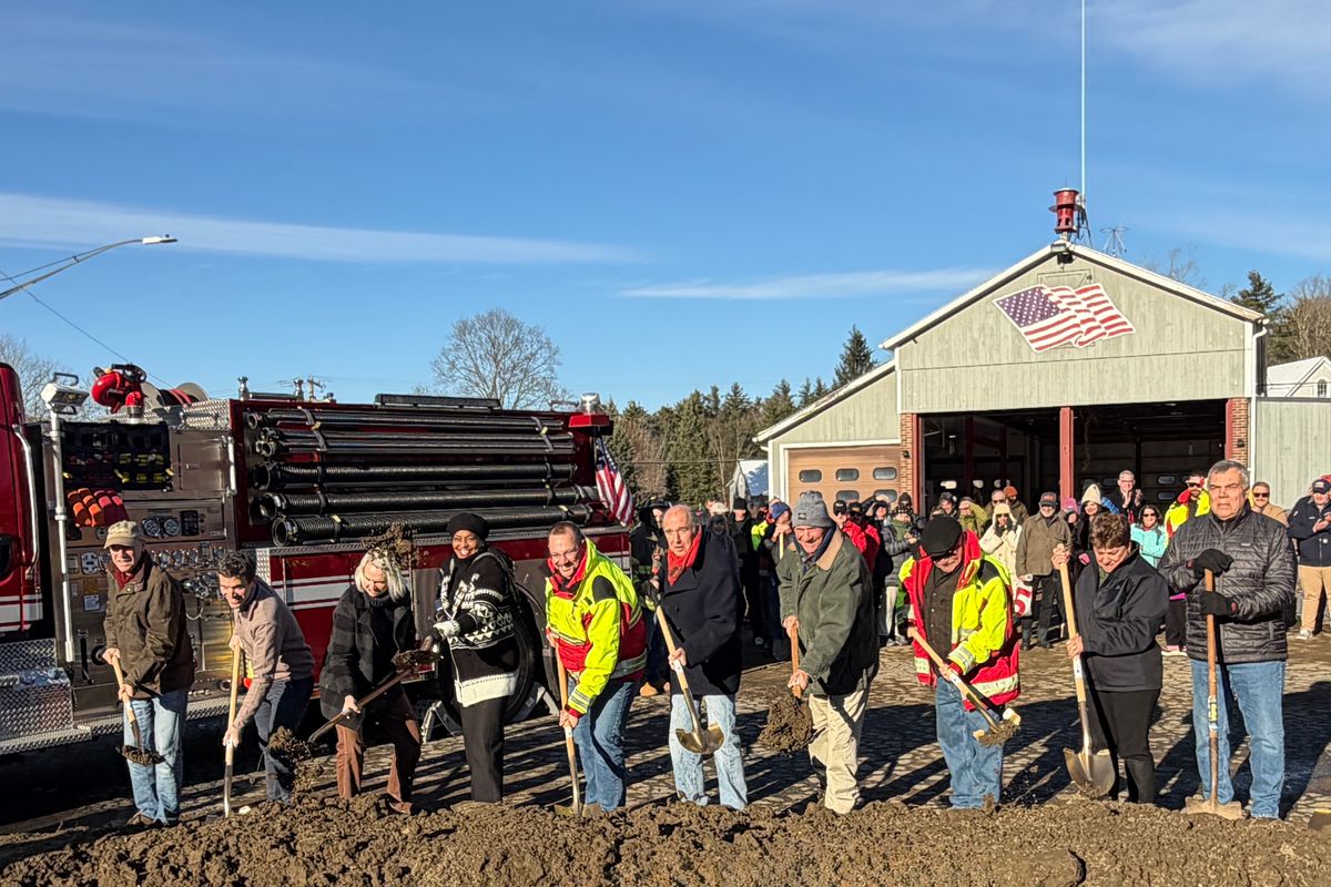
Officials, firefighters and community members break ground on the Norfolk Volunteer Fire Department’s new firehouse on Dec. 6.
By Jennifer Almquist
With shovels in hand, participants dug into the soil beside the current Shepard Road firehouse, which will be demolished once the new facility is complete. The project is slated for completion on Dec. 21, 2026.
The town unanimously approved the new building at a special meeting on May 22, 2025, voting to replace the aging 50-year-old station considered no longer adequate for modern apparatus or safety standards. The NVFD has served Norfolk as an all-volunteer department for more than 120 years.
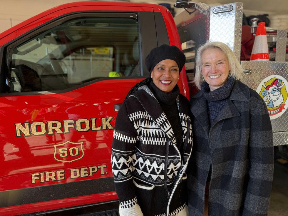 U.S. Congresswoman Jahana Hayes (D-5) stands with State Rep. Maria Horn (D-64) at the groundbreaking for Norfolk's future firehouse.Photo by Jennifer Almquist
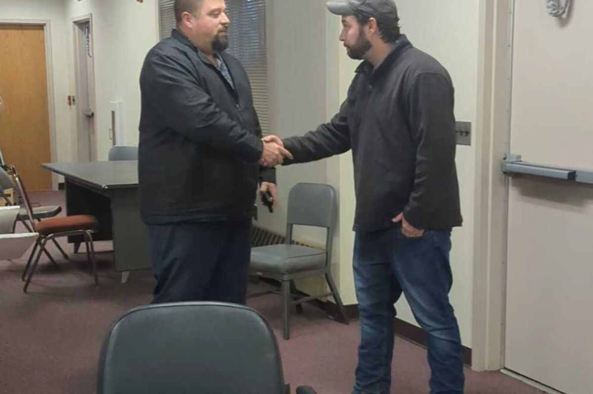
Henry Tirrell, Norfolk’s newly-elected First Selectman, welcomed the crowd of more than 150 people. He thanked his predecessor, Matt Riiska, a key player who worked for the past five years to secure funding for the building projected to cost $10.4 million.
Assistant Chief Matt Ludwig said, “One thing this experience has taught me is that building a firehouse isn’t just about blueprints and budgets. It’s about people, patience and a whole lot of teamwork.”
Fire Chief Brian Hutchins said, “This reflects the trust this town places in its volunteers, and the commitment we make in return; to be ready, dependable, and there when someone needs us. To the members of the Norfolk Volunteer Fire Department: this moment belongs to you as well. Your dedication, your patience, and your steady commitment to serving this town are the reason this station is being built; and it’s well earned.”
Tony Kiser and Barry Roseman lead the capital campaign, which to date has raised $3 million. Tirrell acknowledged the work of the architects Silver, Petrucelli + Associates of Hamden and Newfield Construction Group of West Hartford, which is managing the project.
State Rep. Horn helped secure a $2.5 million state grant for the new firehouse. A longtime champion of the plan, she was warmly received by the crowd. She said, “This is really exciting to have this finally coming to fruition and start the official part of the process on a sunny day in the Icebox.”
Congresswoman Hayes secured a $500,000 federal grant for the firehouse. She stood looking across at the gleaming firetrucks and added, “This is a really great day. I am glad to be a part of it and look forward to cutting the ribbon with you next year."
Tirrell smiled as the shovels were gathered up, “I am so proud to be part of such an amazing town. One of the cornerstones of our community is the shared support for each other.”
As people said their goodbyes and stomped the mud from their boots, Tirrell added, “I am thrilled that we are starting this final step to get the NVFD a facility that is safe and meets their needs, plus the needs of this town, so they can continue to keep us and our homes safe.”