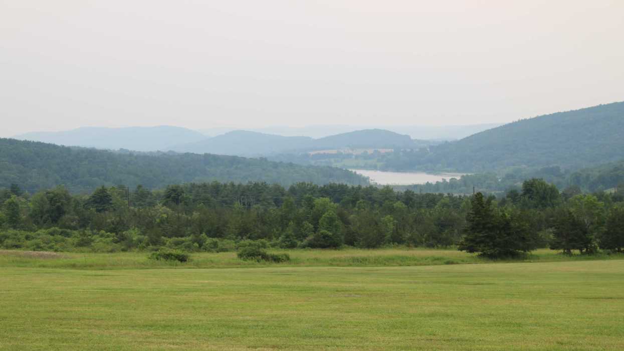
The worst of last week’s wildfire smoke cleared by the late weekend, though meteorologists say residents shouldn’t assume it’s gone for good as shifting weather patterns could carry smoke back into the region as powerful wildfires continue to burn in Canada and the northern Great Lakes region.
Air Quality Index readings across much of the state consistently reached unhealthy to very unhealthy levels between Tuesday and Saturday, with the worst conditions affecting southern parts of the state.
According to the state Department of Energy and Environmental Protection, air quality across the state on Sunday returned to “Good to Moderate” levels, meaning prolonged outdoor exertion was safe for all but especially sensitive individuals.
Residents should enjoy the break from the haze, Bethel-based meteorologist Jack Drake said, but he cautioned that smoke could return if shifting winds carry it back into the region while the wildfires continue to burn.
“The position of these fires is a little unfortunate,” he said, “since a prevailing wind direction [for the region] is west-northwest.”
Because of the jet stream, a high-altitude ribbon of wind that steers weather systems across North America, smoke from summer fires in the Upper Midwest and western Ontario can be carried into the Mid-Atlantic and New England.
“It’s kind of right upstream,” he said.
Despite recent rain in Ontario and predicted storms later in the week, the Canadian Broadcast Company reported on Sunday that 139 fires, 66 of which are uncontrolled, were burning across the province. Drake said that due to the remote location of the blazes and their strength, New Englanders should not be surprised to see more smoke pass through the region in the coming weeks.
A cold front responsible for thunderstorms across New England on Saturday – the severe potential of which was actually reduced by the presence of wildfire smoke – was responsible for Sunday’s clear air, Drake explained – “it actually kicked all the smoke out to sea.”
Some wildfire smoke that passes over the Northeastern U.S. is carried “aloft,” or high overhead in the atmosphere, and only causes a high haze that makes for pretty sunsets but little on the ground impacts, Drake said.
Dominant high pressure last week, which would have caused otherwise clear weather, caused air to “sink” as it traveled southeast with the prevailing winds, he explained, bringing the smoke down to ground level and causing the skyrocketing AQI levels that made eyes itch and throats sore.
“If we get a similar setup,” he said, “we could see some smoke come back in.”
Drake recommended that residents should stay tuned into local and national weather forecasts as smoke remains a risk, since it’s difficult to model further than 48 hours in the future – “Smoke can be difficult.”
Drake said smoke forecasting has really only been a focus of his near-ten year career in weather since an event in 2023 brought thick smoke to much of the Northeast – “That was really the first week where I was like, this is the main weather story.”
“Definitely for the past three years it has been on the mind.”