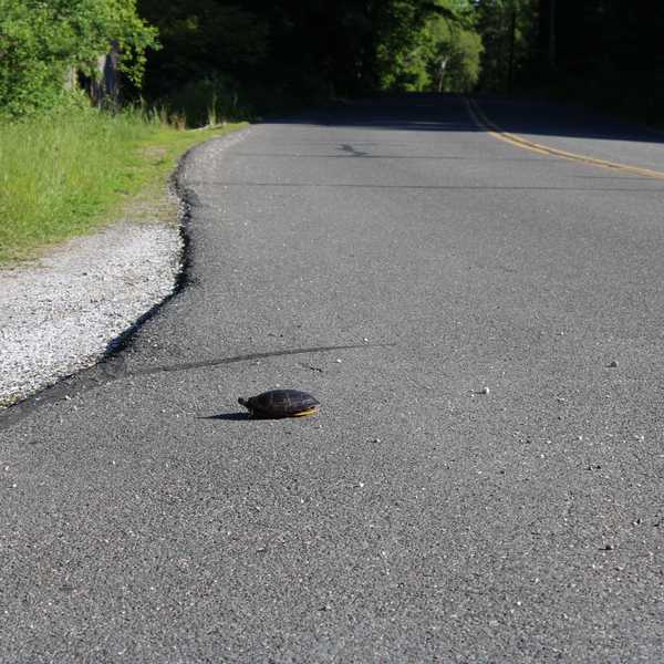
The art of place: maps by Scott Reinhard
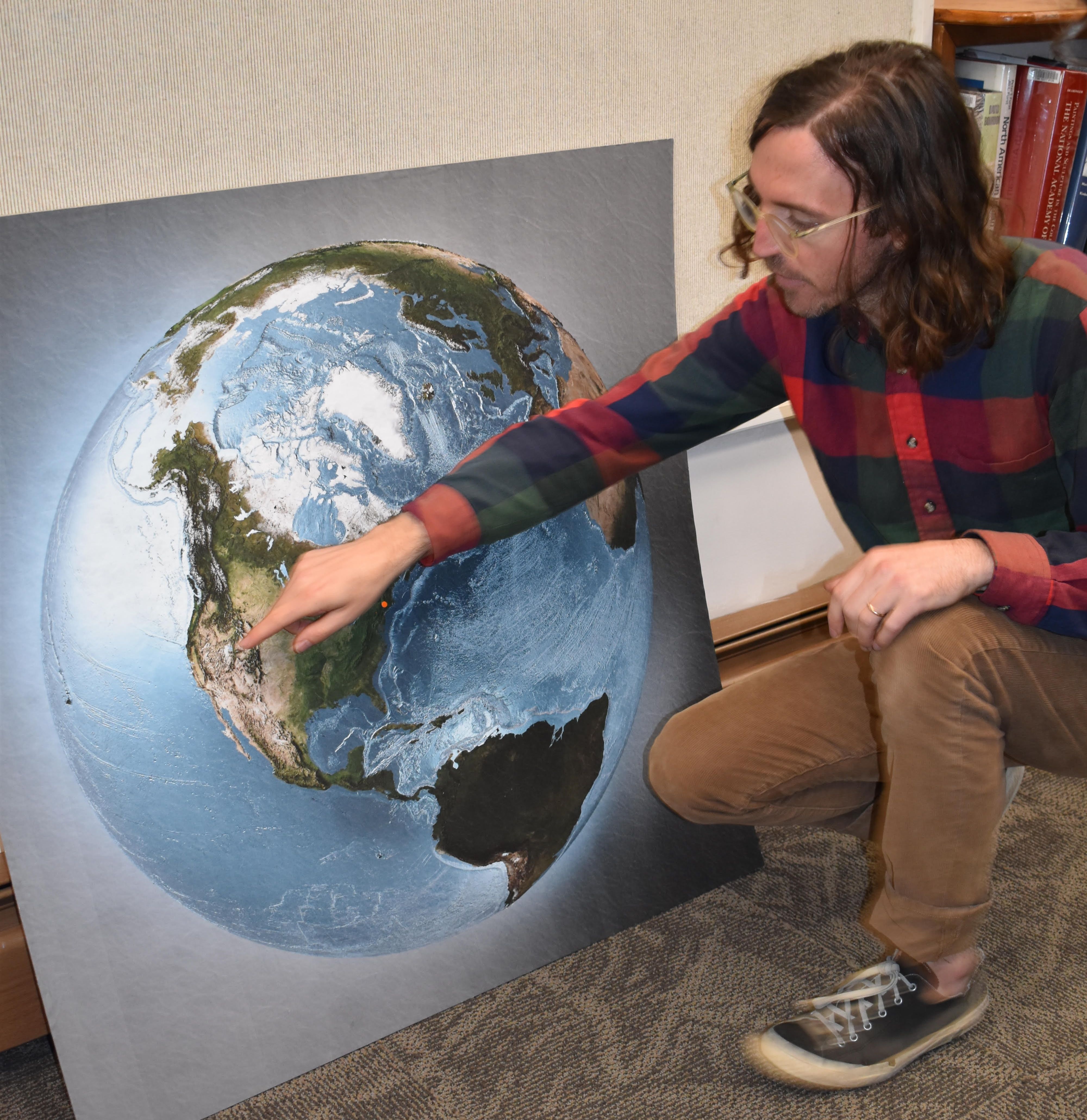
Scott Reinhard, graphic designer, cartographer, former Graphics Editor at the New York Times, took time out from setting up his show “Here, Here, Here, Here- Maps as Art” to explain his process of working.Here he explains one of the “Heres”, the Hunt Library’s location on earth (the orange dot below his hand).
obin Roraback
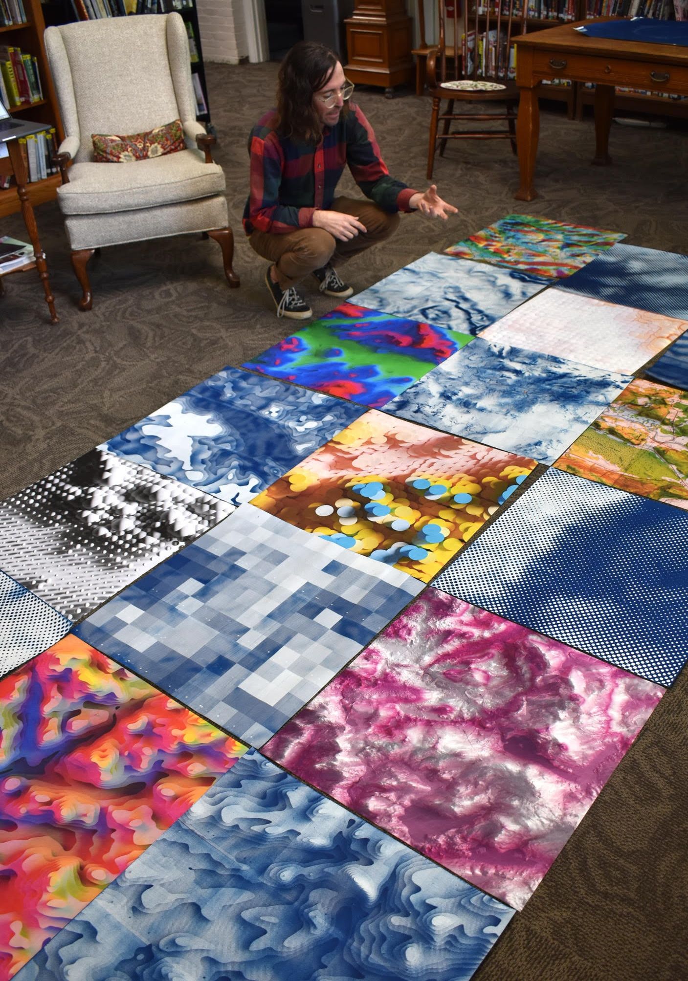 Scott Reinhard’s 16-foot-wide piece of the Northwest Corner is laid out on the floor prior to being hung for the show. L. Tomaino