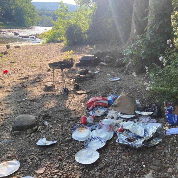
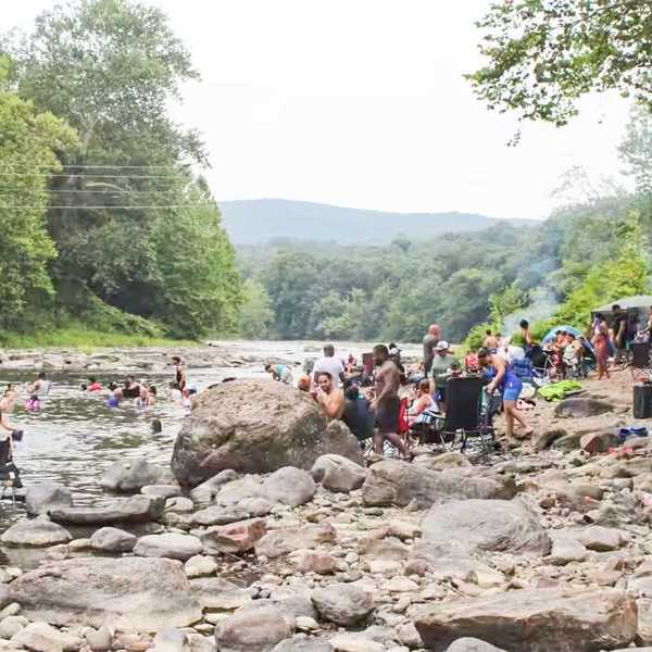
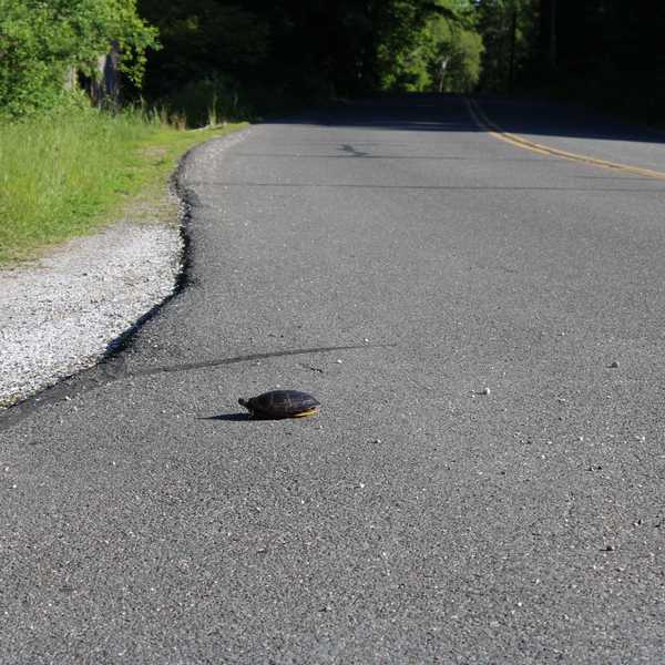
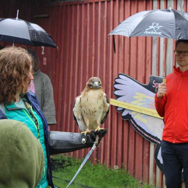
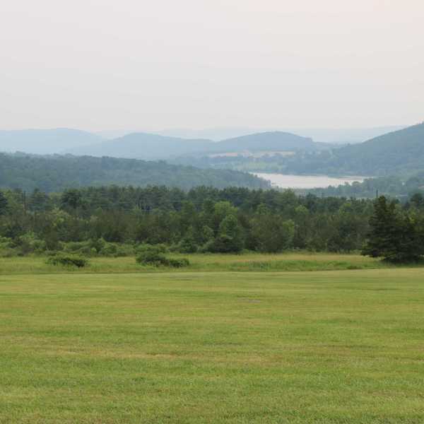
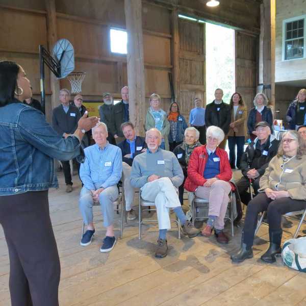
Dam walk yields views and warnings

Natural Resource Specialist James Jylkka explains the mechanics of the dam.
Alec Linden


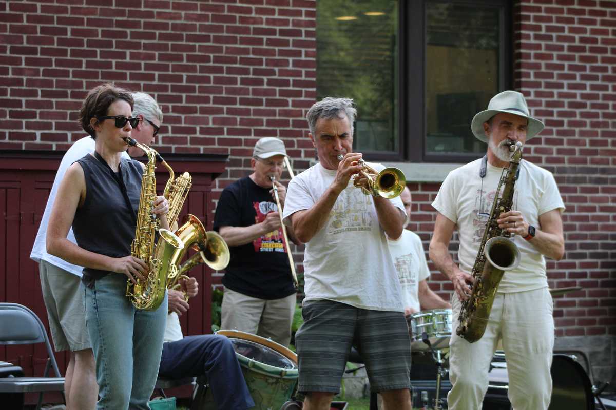
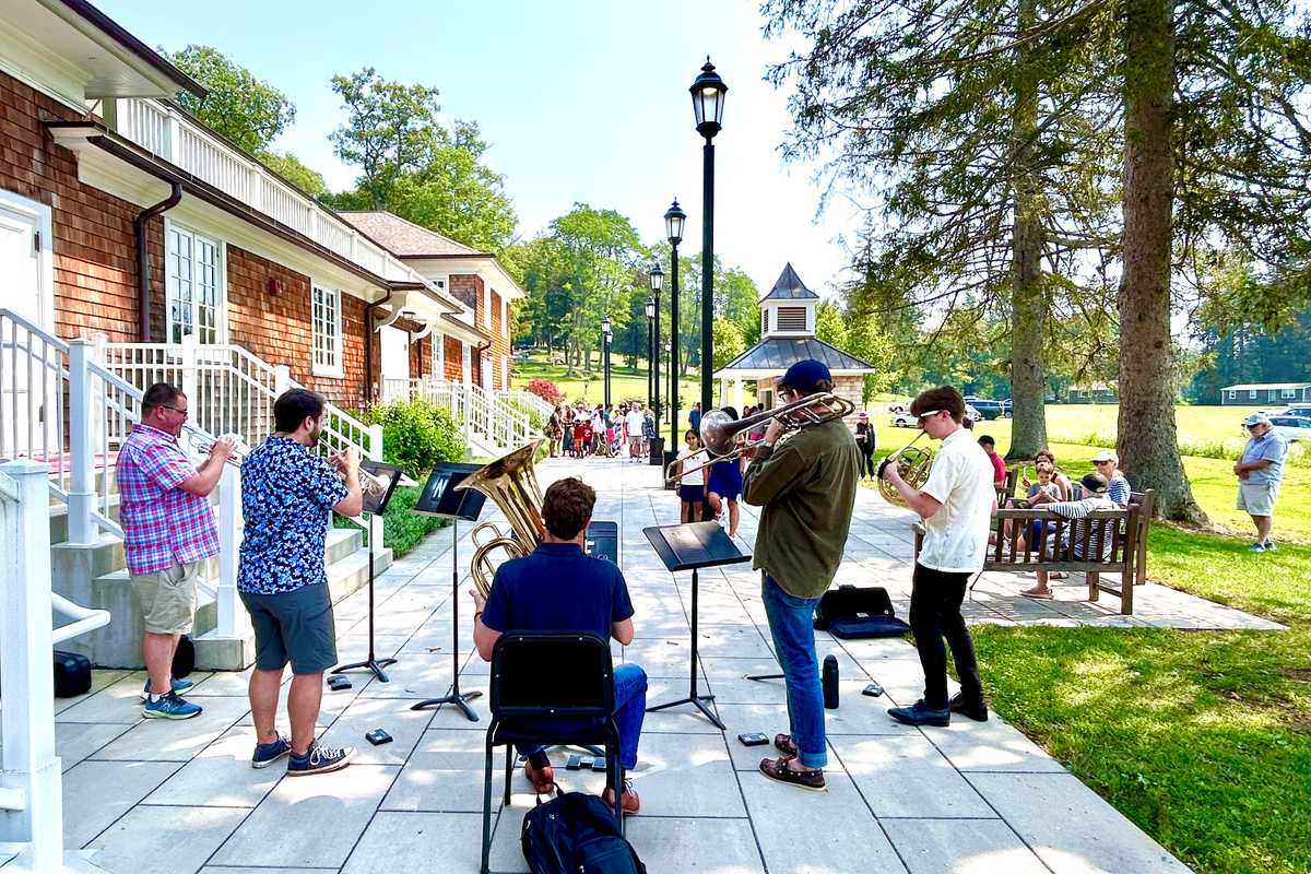
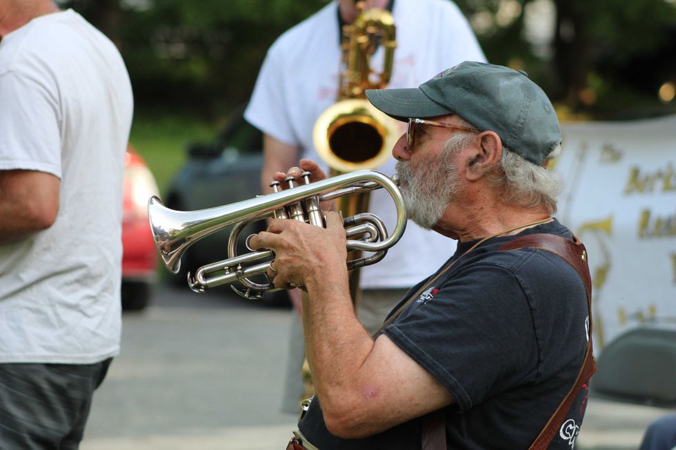
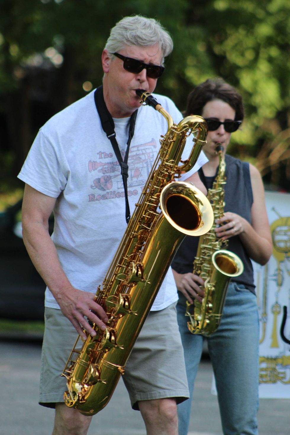
The Berkshire Resilience Brass Band brought lively brass and jazz-inspired music to the lawn at the David M. Hunt Library on Friday evening, July 24.
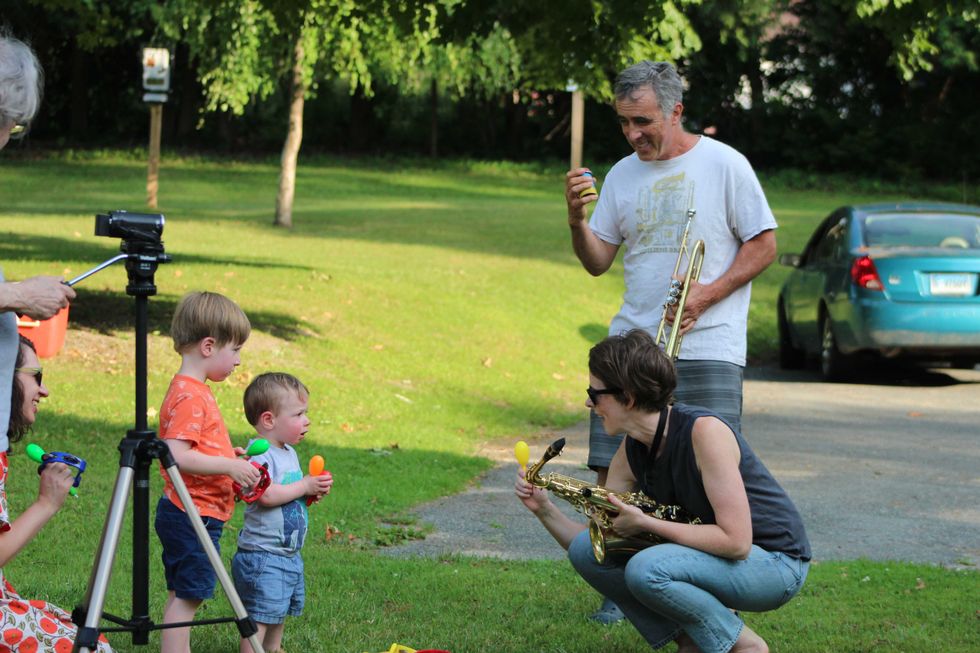
Audience members became part of the performance as well. During one number, the horn players switched to percussion, while a basket of rattles and other handheld instruments was available for audience members to play along. Sadeh and O’Dea encouraged several young children to shake along with the music.
The audience continued to grow throughout the evening, including a family who stopped after hearing the music while driving by.
Although the band’s performances sound spontaneous, they begin with a shared musical framework.
“We start with a tune or arrangement,” Rogers said. “Then we do or don’t follow it.”
Rogers estimated that any given performance is at least half improvisation.
It’s not left entirely to chance. O’Dea said the group rehearses once a week, on Sundays.
Patrick L. Sullivan
Deanna Hearn opened Lucky Orphans in 2003.
Growing up in the Bronx, Hearn was captivated whenever she saw horses. Her grandfather, a Korean War veteran, had cared for military horses during the war. After returning home, he struggled with addiction, and the invisible wounds of military service. Through every difficult chapter of his life, however, one thing consistently brought him peace.
“Horses bring peace,” he told his granddaughter.
When Hearn was 11, after years apart, Hearn and her grandfather began spending weekends riding together. Less than a year later, he was diagnosed with pancreatic cancer. Before he died, he asked family members to help buy Hearn’s first horse — a stubborn paint horse that bit, kicked and frequently threw her off. She wanted to sell him. Her father refused.
“Every life has value,” he told her.
Looking back, Hearn says that lesson became the foundation of everything she would later build.
What began as a boarding stable in 2003 took a different direction after the Dutchess County SPCA asked Hearn to care for horses seized in cruelty cases. She soon realized that although Dutchess County had one of New York’s largest horse populations, there was no dedicated nonprofit equipped to care for neglected and abused horses. Lucky Orphans officially became a nonprofit in 2008.
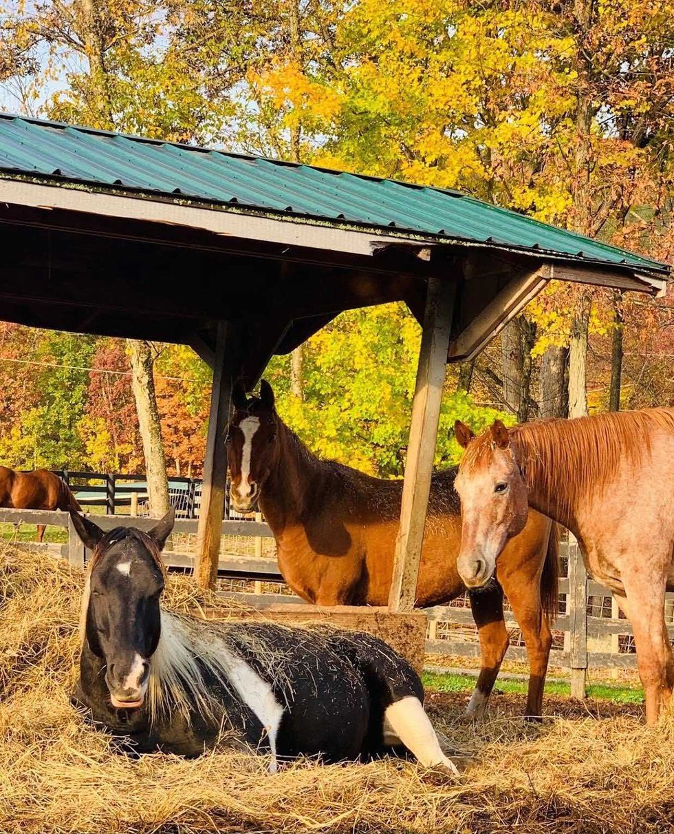 Some of the more than 40 horses at Lucky OrphansProvided
Today, Hearn is quick to point out that Lucky Orphans is not simply a rescue.
“We’re a sanctuary,” she said.
Many of the more than 40 horses living there arrive with broken bones, chronic illnesses, heart conditions, missing eyes or other injuries that make them unsuitable for riding or adoption. Rather than rehabilitating and rehoming them, Lucky Orphans makes a lifetime commitment to every horse.
In 2013, Hearn became certified in equine-assisted psychotherapy, combining her lifelong relationship with horses and the lessons she learned from her grandfather to create programs for veterans, trauma survivors, children and families facing emotional challenges. The transformations she witnesses continue to surprise her. She recalls one woman who arrived convinced she would not fit in with a group of strangers. During the session, a horse quietly chose to follow her without a rope or commands. For the first time in years, the woman said she felt truly seen.
Another memory has stayed with Hearn ever since. A teenager in a juvenile probation program, wearing an ankle monitor and struggling with anger, entered a round pen with a horse. As his frustration grew, the horse moved farther away. When he finally calmed himself, the horse walked directly toward him and rested its head against his chest.
“I told him, ‘If you can control your energy, you can control the world around you,’” Hearn said.
Stories like these sustain her through the difficult realities of running a nonprofit. Operating the sanctuary costs roughly $52,000 each month, and Hearn lives on the property, where the work never truly ends. Veterinary bills, staffing, fundraising and the daily care of dozens of horses are constant concerns. Then someone returns years later and tells her that the horses changed their child’s life.
“That’s why I keep going,” she said.
Looking ahead, Hearn hopes more people discover what makes Lucky Orphans unique. The organization is expanding its community programming with educational visits, yoga sessions, horse encounters, volunteer opportunities and family events designed to reconnect people with horses and with one another.
Her vision is simple: to create a place where people slow down, reconnect and remember something modern life often makes us forget. If horses could speak, Hearn believes they would offer just one piece of advice.
“They’d tell us to slow down,” she said.
After spending an afternoon at Lucky Orphans, it’s hard to disagree.
For more information or to plan a visit, go to luckyorphans.org

Want more of our stories on Google? Click here to make us a Preferred Source.