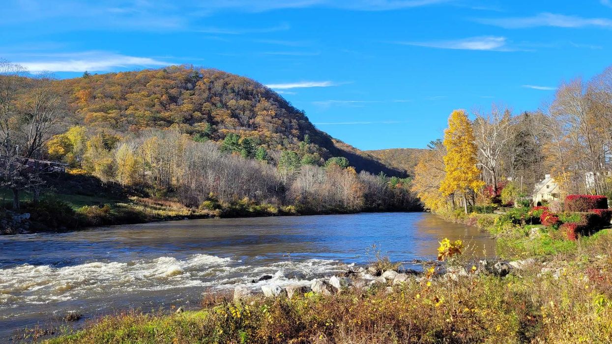
“This collaboration work is essential to ensuring that wildlife can move, adapt and thrive on our landscape, now and into the future.” —Tim Abbott, executive director, Housatonic Valley Association
CORNWALL — Efforts to ensure bears, bobcats, deer and other species can move safely through the Northwest Corner’s forests—and across its most hazardous roadways—are getting a boost, thanks to a $30,000 grant awarded to the Housatonic Valley Association (HVA) for its Follow the Forest initiative.
The grant, provided by the John T. and Jane A. Wiederhold Foundation, a Northwest CT Community Foundation supporting organization, will support HVA’s ongoing work to safeguard key habitat linkages from the southern Hudson Valley north through Connecticut, Massachusetts, New York and Vermont. Much of that work centers on the Northwest Corner, where fragmented forests, busy roads and development increasingly threaten the ability of wildlife to travel between habitats.
The corridor, a mosaic of ridgelines, wetlands and deep woods, is used by everything from moose and black bear to bobcats, foxes, turtles and amphibians. Conservationists say maintaining safe passage for these species is essential not only for biodiversity but also for clean water, clean air and climate-resilient ecosystems.
“This collaboration work is essential to ensuring that wildlife can move, adapt and thrive on our landscape, now and into the future,” said Tim Abbott, HVA’s executive director. “We are deeply grateful to the John T. and Jane A. Wiederhold Foundation for its support of our Follow the Forest efforts.”
The foundation was created for the purpose of protecting and improving the welfare of animals of all kinds as well as the protection of wildlife, including endangered species, flora and fauna.
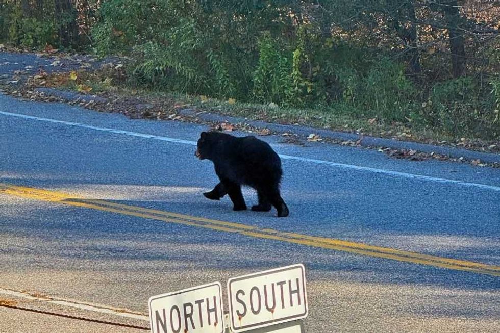 An American black bear running in the road in Cornwall Bridge.Lara Beckius/HVA
Training community scientists
Over the next year, the funding will allow HVA and its partners to expand science, planning and land-protection readiness efforts. That includes training community scientists to study wildlife movement at more than 60 forest linkages across western Connecticut and neighboring Massachusetts, coordinating conservation planning among local and regional partners, and developing a new “Connectivity Implementation Framework” to guide the shift from mapping to on-the-ground action.
Julia Rogers, HVA’s conservation director, said the initiative’s strength lies in its broad coalition. “Follow the forest brings together more than 50 partners, from local and regional land trusts to national organizations, united by a shared conservation vision.”
Local land trusts say the regional scale of the work is vital, especially in the Northwest Corner, where wildlife movement crosses both town and state boundaries.
Brian Hagenbuch, executive director of the Steep Rock Association in Washington, Conn., said Follow the Forest “gives us the tools to connect the dots, literally, between the places we’ve already protected, and the ones identified that still need our attention.
“Continued support for this work is a huge step that enables smaller organizations such as Steep Rock to collaborate on bigger landscape-scale preservation efforts that ensure wildlife can move safely and freely throughout our town and region,” he added.
HVA, which is the only conservation organization dedicated to the entire tri-state region, uses the Follow the Forest corridor map to guide land protection priorities, identify choke points where wildlife movement is threatened and highlight locations where easements or acquisitions could preserve safe passage.
Wildlife road-crossing hotspots
Conservation staff and volunteers working with the Follow the Forest initiative have identified several high-risk wildlife road-crossing zones in the region, many located where forest blocks are pinched by pavement, guardrails or development. Among the areas receiving increased attention:
Route 7, Cornwall Bridge to Kent:
A major north-south travel route for the black bear, bobcat and moose, with recurring reports of crossings near the Housatonic River. According to HVA, the narrow forested connection east-west across Route 7 is a priority for long-term connectivity planning.
Route 41 between Sharon and Salisbury:
A significant movement corridor for deer, bobcats and small mammals. Steep slopes funnel wildlife directly toward the roadway, producing seasonal spikes in collisions.
Lime Rock Station Road/Salmon Kill area, Salisbury:
Lowland wetlands attract amphibians and reptiles, especially during spring migration. Volunteers often monitor crossing nights to to assist spotted salamanders and wood frogs.
Route 44 between Norfolk and North Canaan:
A wide-ranging habitat connection where bear, coyote and occasional moose move between large forest blocks on Canaan Mountain and the Haystack Mountain region.
West Cornwall Road/Route 128 bridge area:
Forest on both sides of the Housatonic River creates a critical east-west linkage. Wildlife frequently attempts to cross road segments that narrow sharply near the bridge.

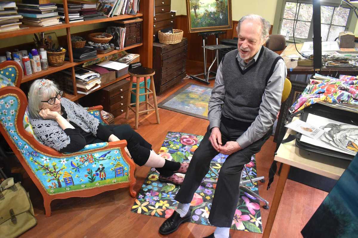
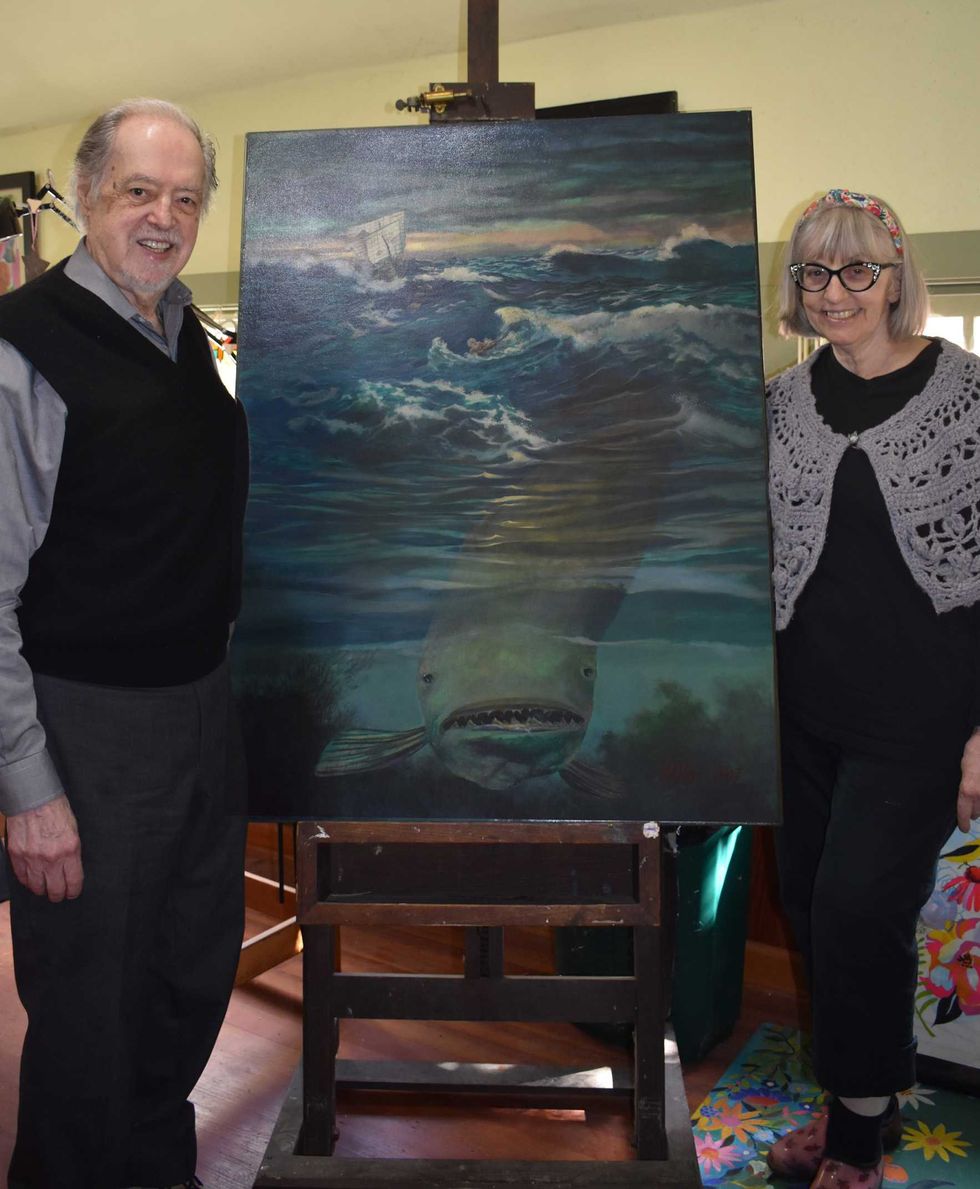 Justine and Victor Valla in their studio with a painting of Victor’s,”Jonah and the Whale.” Robin Roraback


 A ceramic vase by Kathleen Heidemann.Provided
 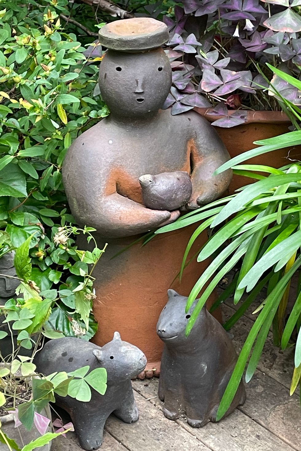 Joy Brown’s delightful ceramic sculptures.Provided